TrailSedona Red Rock
Devil’s Bridge
Moderate4.2 mi round trip524 ft gain
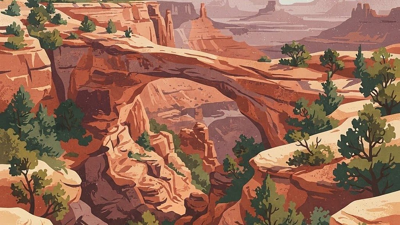
Ends at the largest natural sandstone arch in the area, with a short rock scramble to reach the top. Expect a queue for the photo.
- Distance
- 4.2 mi round trip
- Elevation gain
- 524 ft
- Difficulty
- Moderate
- Trailhead
- Coconino National Forest
Before you go
Conditions, access, and honest warnings.
- The free Sedona Shuttle serves the Dry Creek Vista trailhead Thursday through Sunday and daily in peak season, and the lot is closed to private cars whenever it runs.
- Mileage depends entirely on where you start: about 4 miles round trip from the Dry Creek Road lot, closer to 5.5 from Dry Creek Vista, and under 2 from the high-clearance lot at the end of FR 152.
- The final approach is a set of steep sandstone stair-steps requiring hands in places.
- Expect a queue for the photo on the arch. Go at sunrise or accept the wait.
Trailhead park
Where this route begins.